New Tool Uses Satellite Data to Combat Olive Fruit Fly
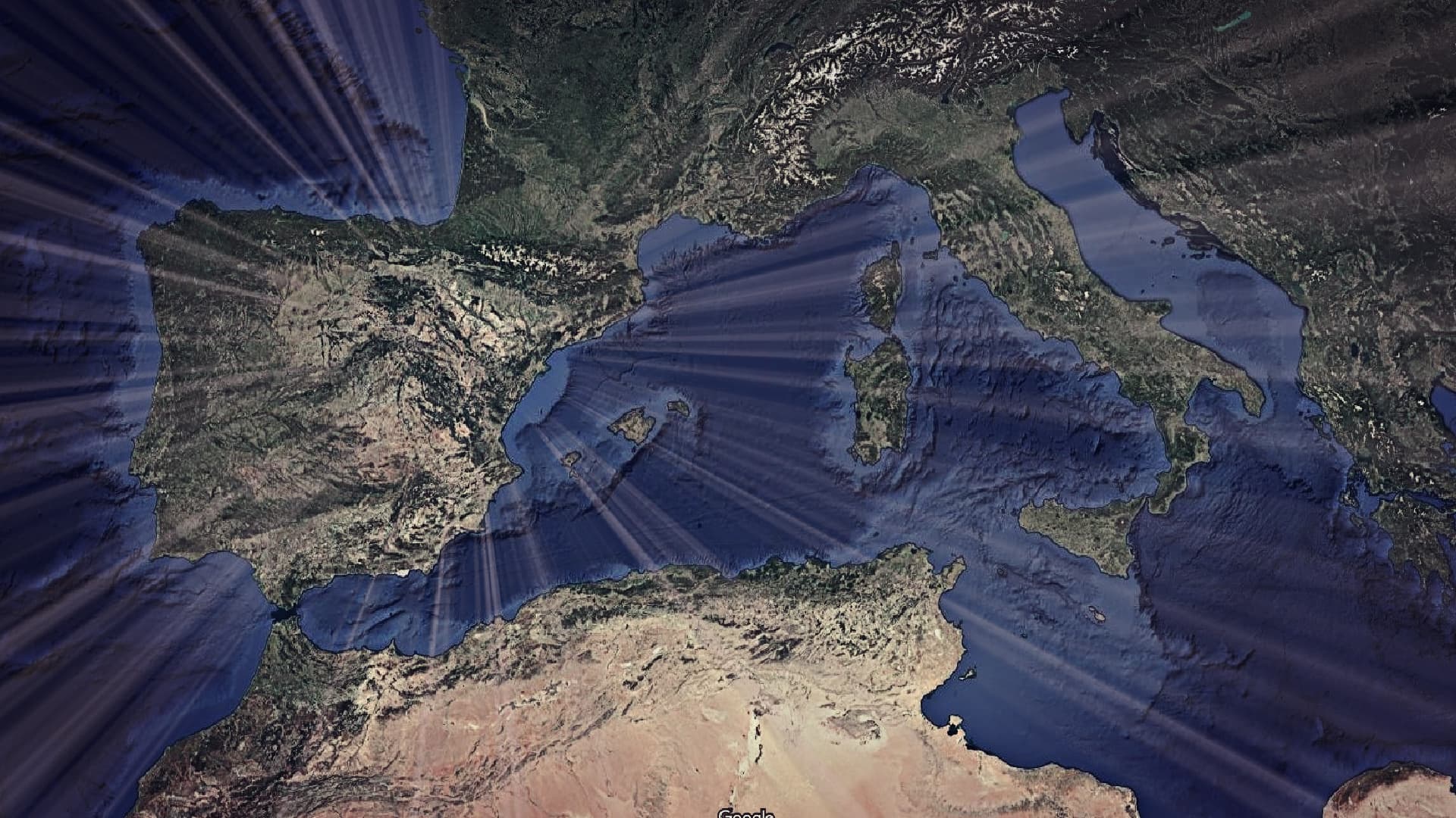
At a recent conference held at the European Space Agency in Frascati, Italy, researchers showcased a tool that can help combat and prevent olive fruit fly infestations in the face of climate change.
The project stems from integrating the biological cycles of the olive tree and the olive fruit fly with relevant satellite data.
“We should consider this project as a new contribution to ongoing pest control efforts,” Luigi Ponti, a researcher at the Italian National Agency for New Technologies, Energy and Sustainable Economic Development, told Olive Oil Times.
You can’t conduct ten years of field trials across all of Puglia. But this model lets you do that virtually within minutes.
A crucial source of data for the project comes from satellite observations made using moderate-resolution imaging spectroradiometer (MODIS) sensors installed aboard two NASA satellites, Terra and Aqua.
Over the past two decades, these sensors have measured several surface variables, such as vegetation indices, while also providing highly reliable land surface temperature data.
“They measured surface temperature from space with daily temporal resolution, also capturing approximate daily maximum and minimum temperatures thanks to their overpass times,” Ponti said.
See Also:Decoding the Olive Fly’s Symbiotic SecretPrevious research by Markus Neteler, founder of Mundialis, a German partner company in the project, devised a method to extract temperature data from the satellite observations.
Additionally, a methodology based on statistics and spatial information was developed to fill in the gaps caused by cloud cover, since MODIS sensors cannot see through clouds.
The research presented by Ponti and his colleagues aimed to link this broad dataset to a MODIS-derived vegetation index known as the Normalized Difference Vegetation Index (NDVI).
MODIS NDVI measures the amount of green vegetation on Earth’s surface, providing information about land cover throughout the year. That information can be used to enhance temperature data derived from MODIS satellites.
The effectiveness of this approach builds on earlier research by a team of Israeli scientists who developed a method to calibrate MODIS-derived land surface temperatures using NDVI data.
“They installed thermometers inside olive tree canopies and found that the temperature derived from MODIS satellites, once corrected using MODIS NDVI, estimated canopy temperature better than the nearest weather station,” Ponti said.
Thanks to these data, it is possible to estimate the temperature experienced by both the plant and the olive fruit fly.
“If we want real agricultural impact, we need to observe what happens day by day, because that’s how plants and interacting organisms operate,” Ponti noted.
The need for highly precise information about agroecosystems led to the development of the physiologically based demographic model of the olive agroecosystem in collaboration with the non-profit scientific consortium CASAS Global.
The model’s output is a detailed and realistic biological representation of the life cycles of the olive tree and the olive fruit fly, including their interactions.
This type of modeling, which combines a top-down approach (using satellite data) with a bottom-up approach (biological mechanisms), overcomes the limitations of both and provides a powerful tool for strategic analysis in agricultural management.
The combination of satellite observations, biological modeling and open-source geographic information tools allows researchers to visualize and analyze dynamics with unprecedented temporal (daily) and spatial (250-meter) resolution.
“For the plant, [the model] simulates leaf populations, branch populations and root populations. With the same base model, it simulates birth, growth, aging and death of plant organs or insect stages,” Ponti said.
“So we use the same model to describe both insects and plants in our olive – olive fruit fly system,” he added.
For the plant, the primary resource is the energy in solar radiation, along with nutrients and water from the soil. For the fly, the resource is the plant it feeds on: how many olives it can find to lay eggs. Its vital rates (growth, reproduction) depend on olive availability.
“This gives the models a degree of biological realism, because they’re constrained by the real-world resource constraints that organisms face,” Ponti said.
“If the fly doesn’t find olives, it goes into reproductive quiescence, just like in nature. So, it’s not a tool to ‘predict’ an infestation exactly, but it can tell you that under certain conditions, the environment is suitable for one,” he explained.
“You can’t say ‘the fly will arrive tomorrow,’ but you can say ‘this area currently has conditions that would support fly development,’” Ponti added.
Just like weather forecasts, biological forecasts are challenging. Weather forecasting itself is considered unreliable beyond a short period of about three days.
“Still, we use weather data as input for our biological models, so uncertainty compounds,” Ponti said. “What our models add is strategic information.”
Forecasting can indicate when to act, but it cannot tell you why something is happening or how to prepare more effectively in a changing climate.
“That requires understanding mechanisms and dynamics in the field,” Ponti said. “That’s the point: if the olive fly is a key pest, how can we manage it better economically and operationally, especially under climate change, where the assumptions about climate are obsolete and the consequent management rules may no longer apply?”
See Also:Researchers Develop Algorithm to Predict Harvest Potential from Climate Data“We showed this clearly in our work in Andalusia,” he added. “For instance, in some areas, there are not enough chilling hours to induce flowering in olives anymore. In warmer areas, the fly population stays below threshold due to high temperatures that approach or exceed the fly’s thermal tolerance.”
Using more precise climate and vegetative information can help policymakers reshape pest control strategies.
Region-specific interventions and policies, such as those in Andalusia, where integrated control organizations monitor and prescribe treatments, rely on analyzing past data.
“For example, monitoring might traditionally start in May, but if winters are warmer, it may be more useful to start earlier,” Ponti said.
The olive fruit fly has rapid population growth, is closely synchronized with the olive tree’s lifecycle, and can reproduce year-round as soon as olive fruit and climate are suitable. This makes it a significant pest of olive crops worldwide.
“If not monitored and controlled early, it gets out of hand quickly,” Ponti said. “So the best approach may be to monitor even during the ‘quiet’ season, late winter or early spring. With future climate trends, being proactive will be crucial.”
As the weather becomes increasingly unpredictable and extreme events become more common, to the point where they are no longer exceptional, agricultural institutions find it increasingly challenging to plan effective protection services.
“This modeling tool gives you a realistic view of what’s happening in the field, something you could never get through field observations at this scale, for this duration,” Ponti said.
“In Puglia, we simulated 20 years of olive and fly dynamics on a daily timescale at 250-meter resolution for hundreds of thousands of locations, thanks to cloud computing provided by the Italian partner Recube,” he added.
“Getting the same kind of data from field observations would simply be impossible. This kind of system gives you that field-level insight essentially for free,” Ponti continued.
Since climate affects plants and insects differently, their interactions and balance shift.
“That’s important to know. You could simulate different management scenarios, such as earlier intervention, and evaluate how beneficial it is,” Ponti said.
“You can’t conduct ten years of field trials across all of Puglia. But this model lets you do that virtually within minutes,” he added. “So, while it’s not meant for short-term forecasting, because that would require perfectly detailed real-time biological and climate data, it’s great for describing and planning strategically.”
The NASA Aqua and Terra satellites are on track to be decommissioned. As a result, researchers are already working on using other satellites, such as those launched by Eumetsat and the European Space Agency, that carry similar sensors.
The new generation of the agency’s Sentinel satellites has high spatial resolution and can observe surface temperatures.
“But they currently don’t have daily temporal resolution, although there are plans to reach daily resolution in future Sentinel missions,” Ponti said.
“That means they can’t provide daily maximum and minimum temperatures, which are crucial for circadian rhythms, the natural cycles that regulate life on Earth,” he explained.
Satellite-derived and other climate data, combined with physiologically based demographic model intelligence, may prove crucial in the years ahead, not just for olive groves, but for many crops that researchers have already studied.
The project was carried out within the framework of the TEBAKA project and is based on the ICT infrastructure developed by the Med-Gold project, both of which are funded by the European Union.
For this data to inform strategy, public institutions and regional organizations must take action.
“What’s missing are the research and project resources to support the required cloud computing while maintaining and extending the time series of the dataset we used, which covers about 20 years, from 2003 to 2023. That’s a long and valuable period,” Ponti said.
“Climate change is not something that will happen at the end of the century. It is something that is happening right now,” he concluded. “Statistical analyses of what happened in the past in a given area are a great tool, but they are no longer enough, because climate is changing rapidly.”


